
Agricultural intelligence & evidence infrastructureEvidence for every season
Grow better.
Prove it.
Unlock more.
Built for the people
who run the season.
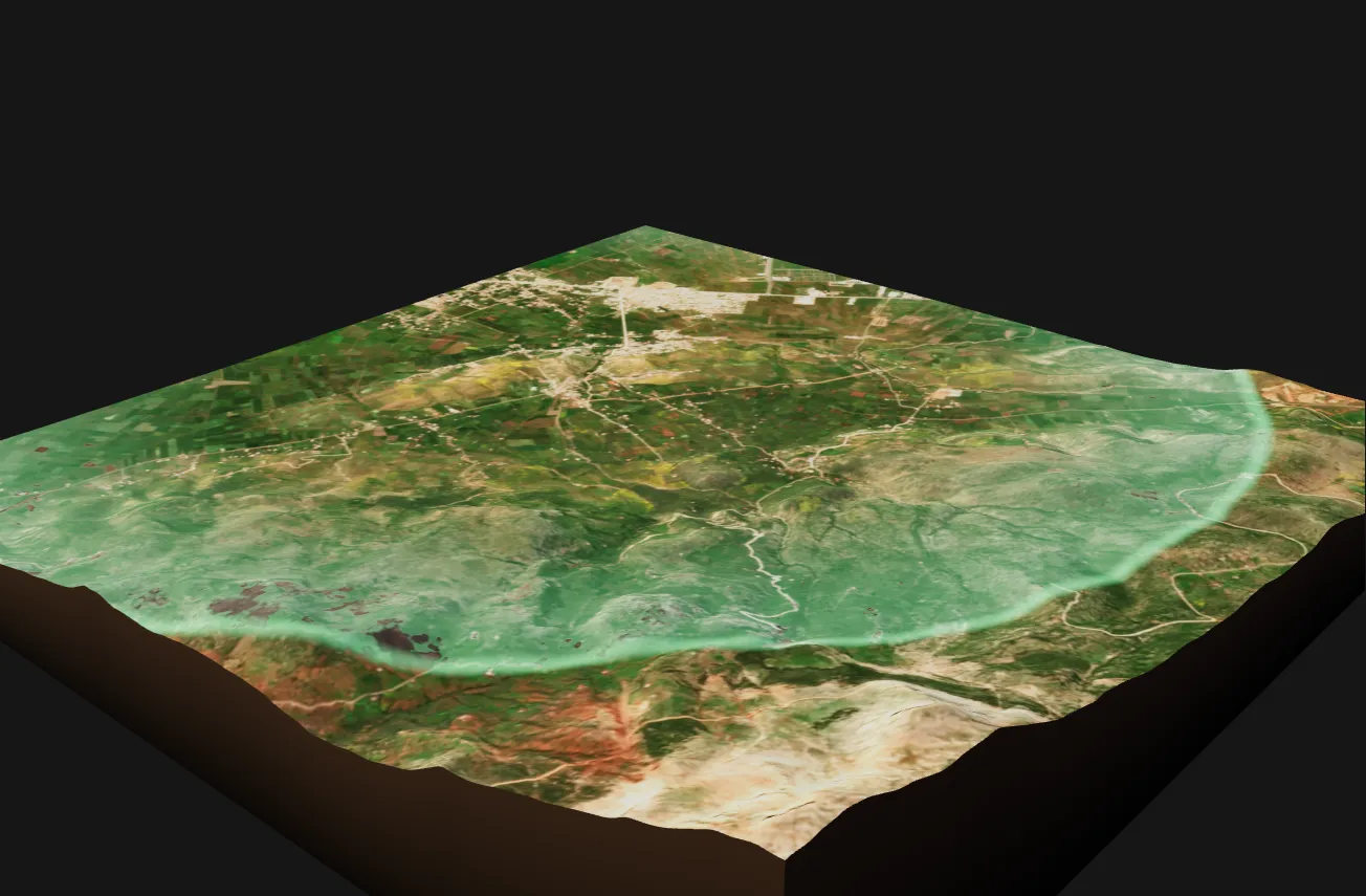
The parcel-season01 / 03
A living season
Copernicus Sentinel-2, 14 April 2026, and Copernicus DEM
01 / How it worksOne parcel.
One parcel.
Three ways in.
The same season, seen from the field, from the desk and from the end of the supply chain.
AgroConform WorkspaceParcel 12 / Season 2025-26
Sowing loggedTreatment checkedHarvest window
New observation
Parcel 12, durum wheatYellowing on the lower leavesVoice note, 0:18
TraceLot PassportCL-2026-04176 of 6 checks passed
- In the field
Andika records what happens on the parcel, in the farmer’s language, even without a signal.
Andika - At the desk
Workspace gives agronomists, cooperatives and institutions the parcel, the season and the decision in one place.
How it works - With the lot
Trace opens the Lot Passport from a code on the crate, for the buyer down the chain.
Evidence & traceability
02 / Earth observationThe same fields,
The same fields,
seen three ways.
Drag across an irrigated river plain. Colour shows the land, the vegetation index shows growth and radar sees through cloud.
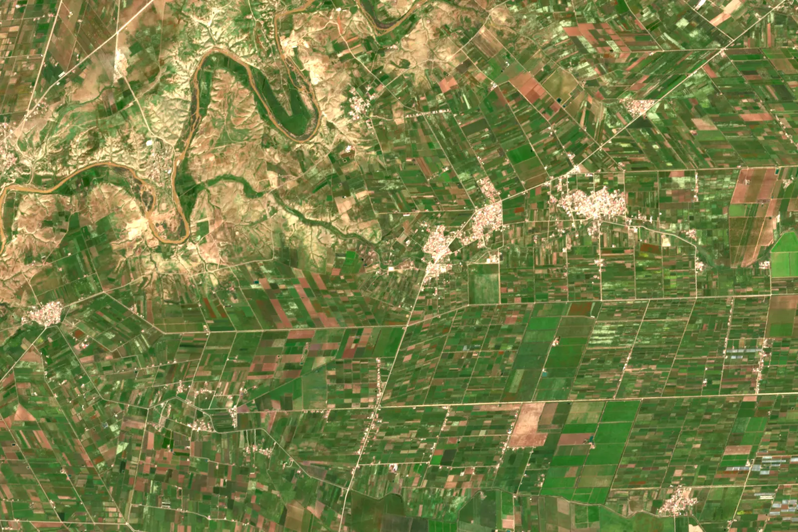
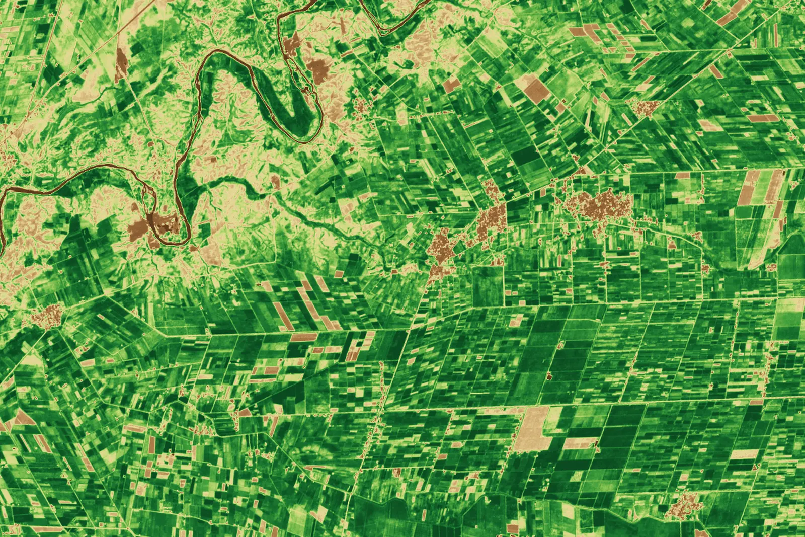
Contains modified Copernicus Sentinel data 2025 and 2026.
03 / Who it servesFind your place
Find your place
in the season.
FarmersYour record. Your context.↗AgronomistsClose the loop with the outcome.↗CooperativesFrom enrolment to collection.↗BanksA traceable input to your decision.↗InsurersEvidence for an accountable review.↗Buyers & exportersFollow the source. Keep the purpose clear.↗ProgrammesSupport that reaches the parcel, on rules you can read.↗
Let’s talk about your season.
Your crop, your region, your next decision. Start with what matters to you.
Book a conversation